Claude Code skill · MIT
city3d: a real city in 3D
A universal, realistic map of a real place: every building is a separate model that knows its name and address, the landscape is shared and grows tile by tile, and your own photos and video raise the quality building by building.
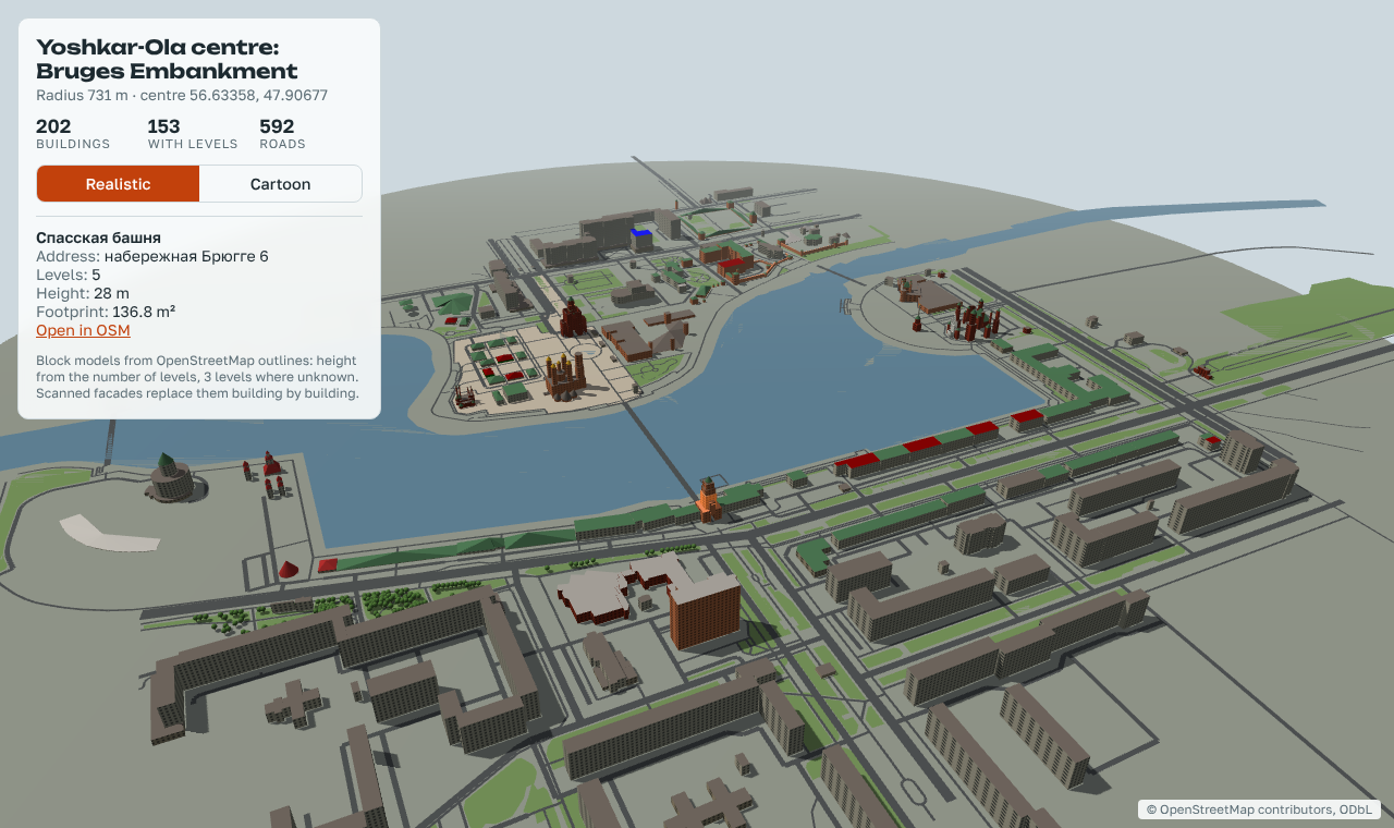
The same map, restyled — not rebuilt
A style is a project on top of the map, not a change inside it. The realistic master stays accurate and keeps serving new work.
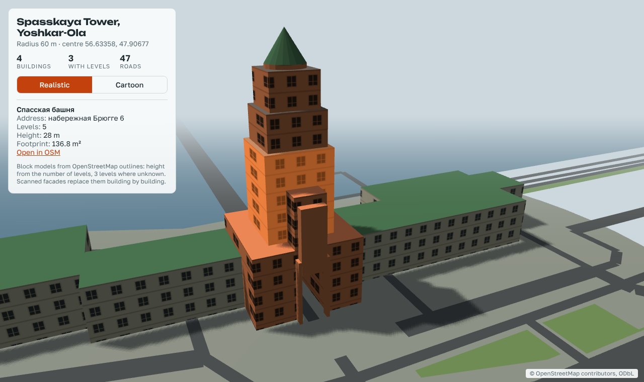
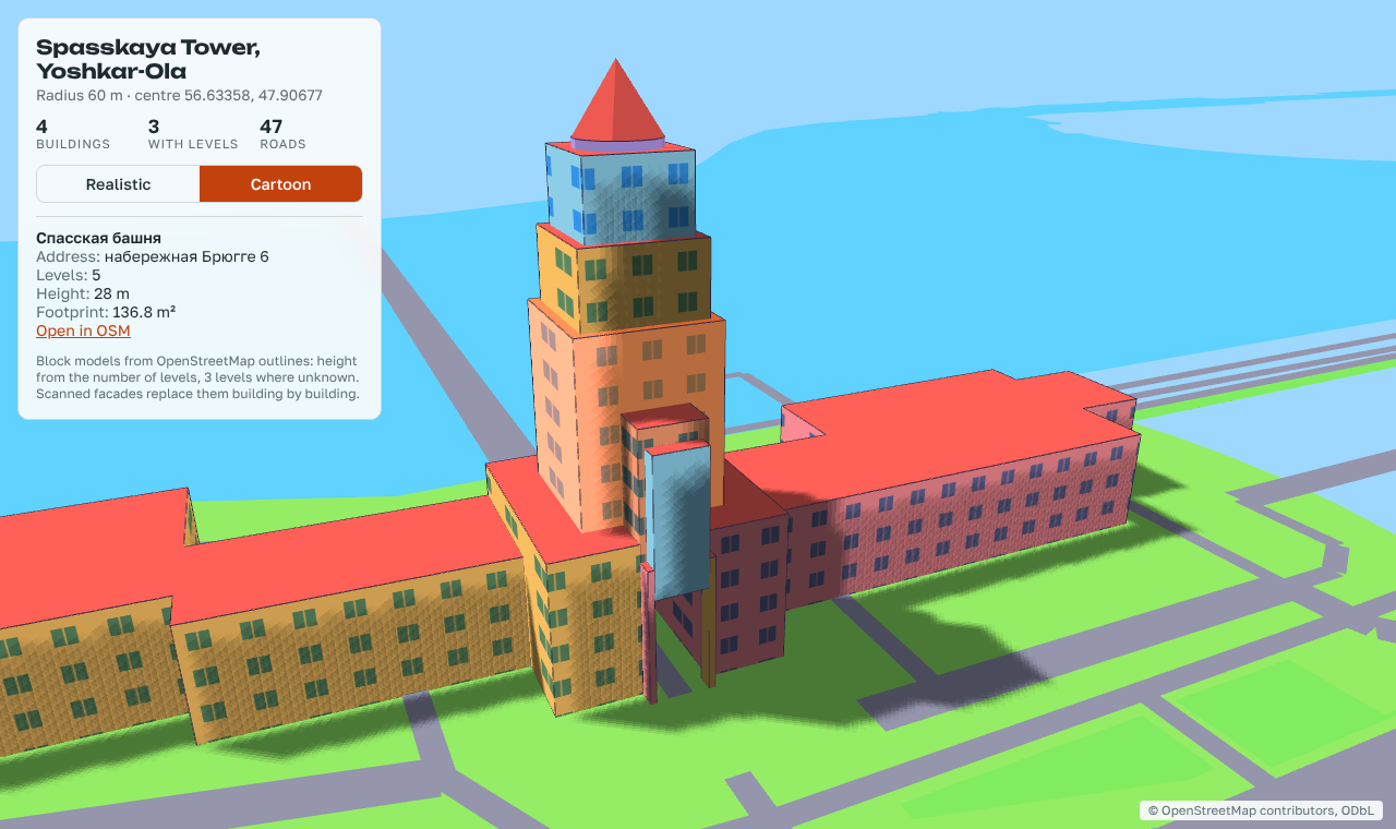
What you get
One model per buildingOn its own OSM footprint, with name, address and storeys; one shared landscape: roads, lawns, water, trees.
A shot listWhich buildings to photograph and from which sides, in walking order. Each building gets its own folder for photos, frames and the model.
Exports that open elsewhereBlender scene and
.glb for Unreal, Godot and Unity; USD for film and Omniverse.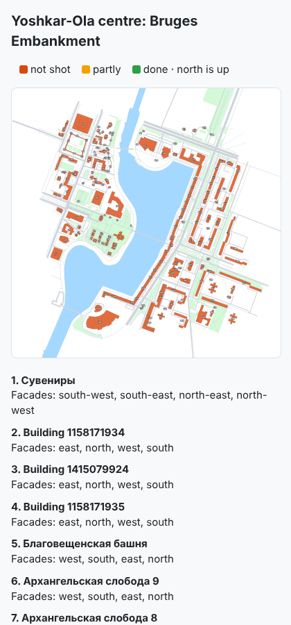
Install
In Claude Code:
/plugin marketplace add ildargiv/city3d-skill
/plugin install city3d@city3d
Then say: “Build the district around … in 3D, radius 300 m”.
You will need Python 3.9+, Blender 4.2+, ffmpeg, and — for models from
your own frames — COLMAP and OpenMVS. doctor.py checks the machine and prints the
download links.